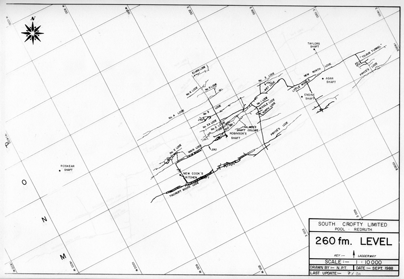
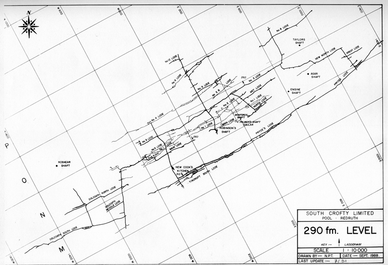
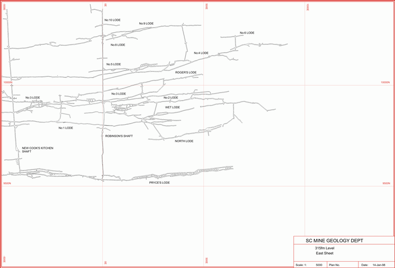
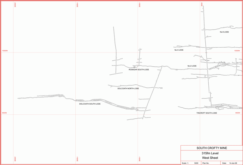
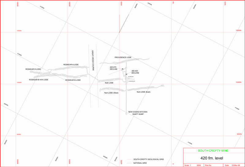
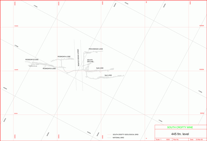
South Crofty Mine Level Plans: The information on this page was written by my late friend Dr Nick LeBoutillier and reproduced here with his permission.
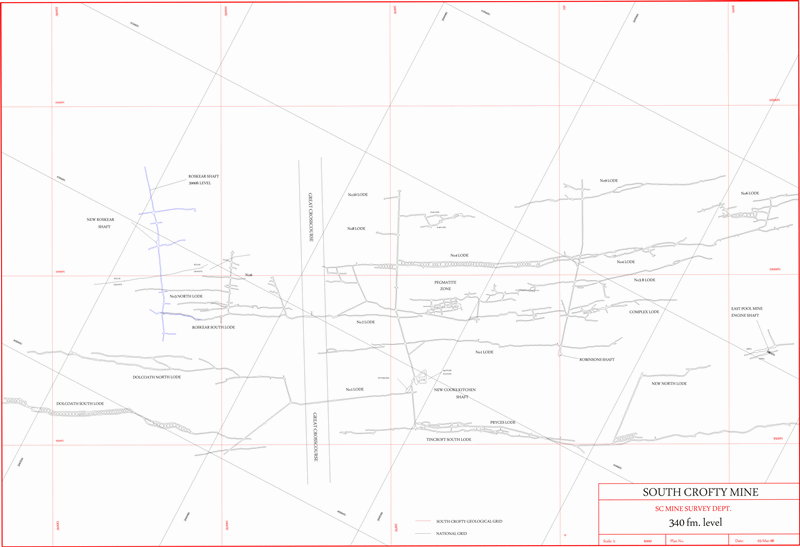
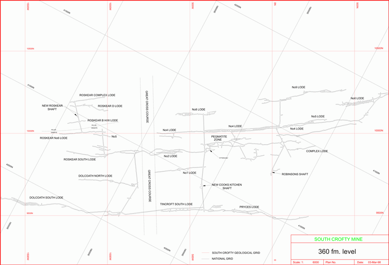
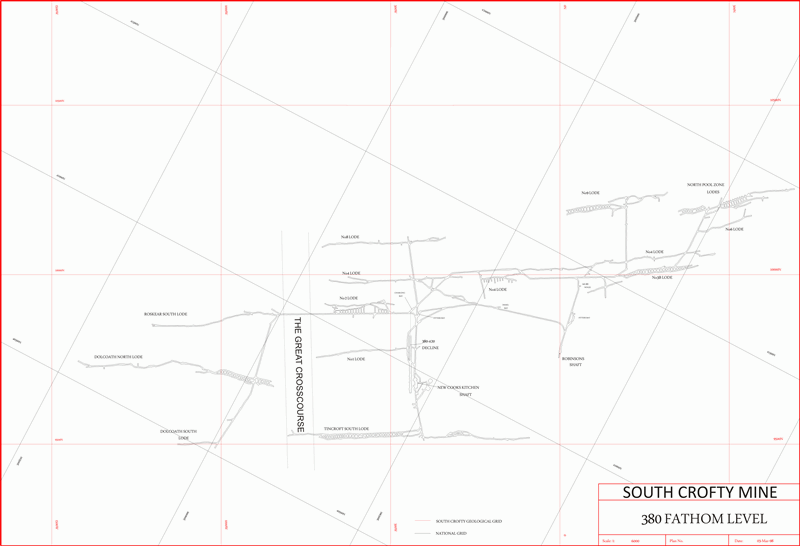
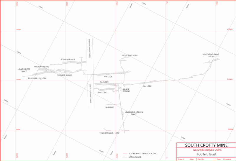
Between 1993 and 1998 South Crofty worked stopes between the 260fm and the 445fm level. The main working levels were 400, 420 and 445fm, with their respective sublevels on a number of lodes. Also, some work was carried out below 260fm (Tincroft South Lode), on and below 290fm (Pryce’s Lode, Dolcoath South Lode), 315fm (Dolcoath South Lode), 340fm (Dolcoath South Lode, Prospect A Lode and NPZ (335fm in Robinson’s section)), 360fm (No:8 Lode, Pegmatite Zone, NPZ, Dolcoath North Lode) and 380fm (No:4 Lode, NPZ). However the lower levels were the main focus of production.
Below 400fm, the main production lodes were the Roskear A, B (hangingwall) and D Lodes, No:4 Lode, No:8 Lode also Providence Lode. There was a turn-out from the lower leg of the decline at 470fm elevation, awaiting the development of that level. The decline halted around 490fm elevation, roughly 3000 feet below surface. So equalling, or perhaps beating, the depth of Dolcoath Mine, the deepest in Cornwall.
Unfortunately these lowermost sections of the mine were never utilised. However plans for the development of the 470fm level were fairly advanced before the mine closed in 1998.
Level plans, for geological mapping, forward development planning and also exploration, are an essential part of any mining operation. During the 1980’s and early 1990’s South Crofty had the services of a number of talented draughtsmen. Most notably the late Nick Talbott who became a free-lance artist after leaving South Crofty. Widely known for his stunningly detailed drawings and paintings, of mining and also railways. His task was transferring survey and geological data onto film sheets.
So, the standard scale used by the Geology Department was 1:500. These sheets, covering the whole mine on all levels were almost works of art, both beautifully draughted and lettered. During the mid-1990’s surveying had become computerised. The survey information was stored within the theodolite (total station) and transferred directly to a PC. This allowed computer-generated plans to be rapidly produced and these largely superceded the earlier film plans. A programme of plan digitisation by the Survey Department (Robin Boon, Andy Staples, Allan Reynolds and Andy Seager) eventually saw the main levels and later sublevels of the whole mine, from 310/315fm downwards, available in digital format.
The mine grid was aligned along the main lode strike (roughly 067 degrees) with the main datum point at Robinson’s Shaft (Mine Grid 0m (E/W), 10000m N). Elevations were based on a datum level some 2000m below Deep Adit Level. This system was used for all of the mine, but with the exception of the North Pool Zones (NPZ), a complex area of en-echelon lodes, pegmatites and replacement bodies. Because these had a markedly different strike and their own localised grid.
